It is late summer 1839, and John Sutter makes his first journey up the Sacramento River to establish a fortified colony that will be the first outpost of New Helvetia. In his book, The Dreamt Land, Mark Arax describes what Sutter encounters at the intersection of the Sacramento and American River:
“The rivers, tame in August, gave way to a sandbar, and from the clearing [Sutter] could see the valley rolling out lush and level, an amphitheater of nature with no end.
“Beyond the tules, herds of deer and elk grazed on thick grass that extended in a giant wave to the oddest set of mountains, three little buttes in a perfect row.”
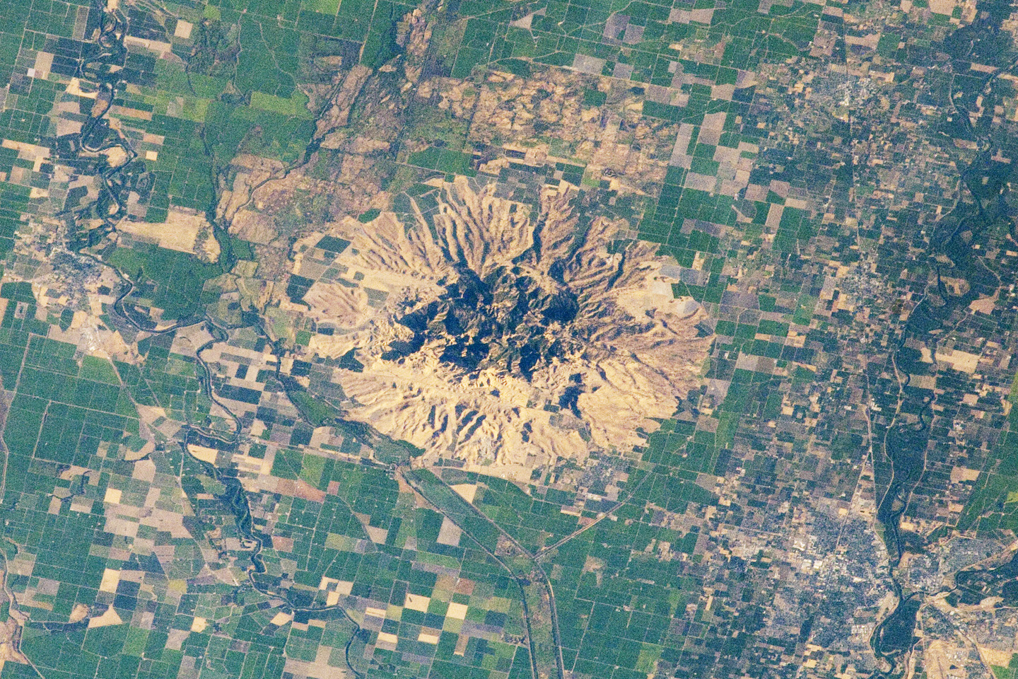
The peaks that Sutter views — near present day Yuba City — are an unexpected formation that rise just over 1,200 feet above and in the middle of an otherwise flat Sacramento Valley floor. What Sutter sees aren’t actually mountains at all. They’re the rocky remnants of volcanic activity that occurred over 1 million years ago. An aerial view reveals an almost perfectly circular footprint 10 miles in diameter, occupying an area of 75 square acres.
The Maidu people have been here for hundreds of years and consider the hills a place to hunt and prepare food but too sacred to permanently inhabit. This is where the souls of their departed gather to ascend to the next life. They refer to the area as “Spirit Mountain” or “Middle Mountains.” When the valley floods, as it does frequently, the hills become an island — a safe haven for humans and animals alike.
In 1806, Gabriel Moraga is the first Spaniard to see the sharply peaked hilltops. A little more than 10 years later the first Californio governor under Mexican rule, Luis Antonio Argüello, calls them “Los Tres Picos.”
In 1846, an expedition led by John C. Fremont stops and camps in the hills for 10 days to regroup. He calls the place “The Three Buttes.” Fremont continues on to Sonoma, where the Bear Flag Uprising begins the wrestling of control from the Mexicans of the future state of California.
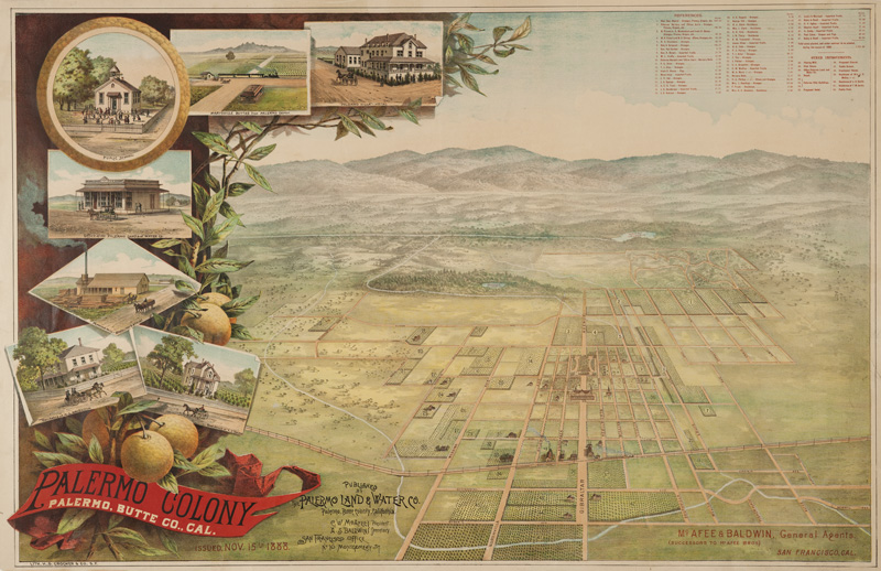
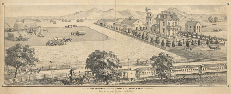
Once the fervor of the Gold Rush dies down, the temporary settlements around Fremont’s buttes gradually give way to ranches and farms owned by a handful of families. The small mountains remain mostly private property through the 20th Century. Evidence of previous activity such as native grinding stones, a pioneer family cemetery, and an abundance of natural habitats remain intact.

Through California history the peaks have had many names: “Los Picachos,” the “Marysville Buttes,” the “Sacramento Buttes,” and the “Smallest Mountain Range in the World.” Finally in 1949, the name officially becomes the “Sutter Buttes.”
In 2003, a northern wedge of the Sutter Buttes, including an area called Peace Valley, is acquired by the California Department of Parks and Recreation. After intensive study, the 1,758 acres are officially classified as a state park on April 8, 2005. Plans for public access and use remain in development.


